

Let’s face it. Hiking isn’t for everyone.
That’s why I got so excited when my Dad wanted to hike on our most recent trip up north. To make it extra special, he was more interested in taking trail loops as opposed to one-way lookouts. Music to my ears!
My parents are a little older, so steep inclines and miles of sandy path are not ideal. So of course, I took to my favorite app, AllTrails, to find easy/moderate trails for those less traveled. It didn’t take long to find Old Indian Trail in Sleeping Bear Dunes National Lakeshore.
Located right on M22, I’ve driven by it every summer for my entire 25 years of life and never stopped to check it out.
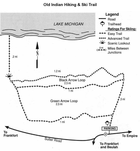
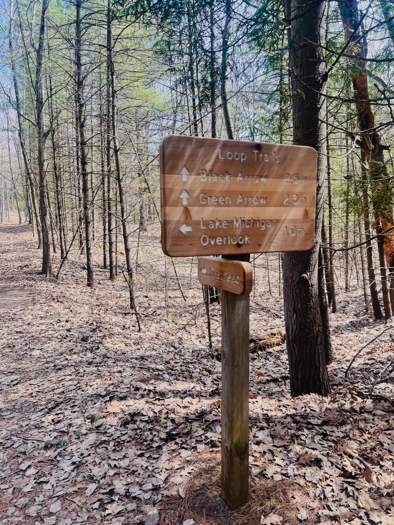
Originally used as a footpath for those of the Anishinaabe people, Old Indian Trail has two loops of about 2.5 miles, with an additional lookout point hike through the dunes to Lake Michigan.
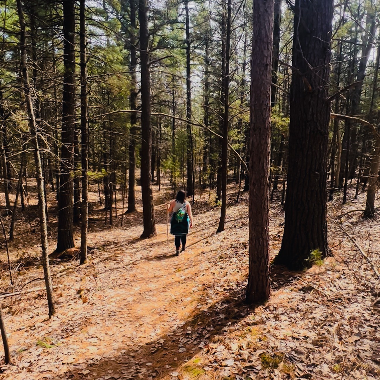
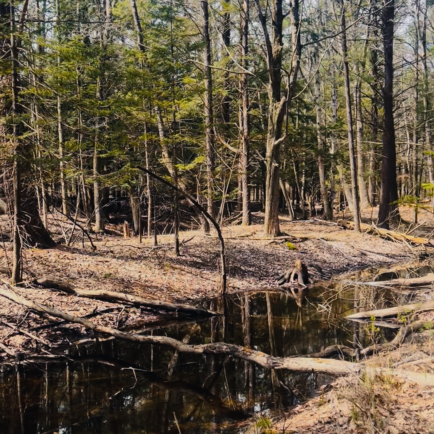
This hike is perfect for beginners and offers a peaceful setting to truly get in touch with nature. A walk through in the spring provided a dazzling display of budding foliage, songbirds, and curious creatures shuffling through the undergrowth.
Though most of the trail runs through a maple-beech forest, there were specific points of cedar which is my all-time favorite! There’s something so comforting about the smell of evergreen on a warm sunny morning. The photographer in me also loves how mysterious and aesthetically pleasing it is under the Cedrus.
If you’re into cedar forests like me, Homestead Dam in Benzie offers a pretty neat trail along the Betsie River! But that’s a blog post for another day.
While most of the walk is friendly to beginners, it’s important to note that the hike to Lake Michigan is very sand heavy with multiple dunes to cross before hitting the actual shoreline. Sand always amplifies the difficulty of any hike so, in an effort to preserve energy and keep your group going, I strongly suggest taking the green arrow loop as opposed to the black arrow loop.
Using the AllTrails app definitely helped us stay on track. (Yes, I am mentioning this UBER COOL app once again. I’d be lost without her… genuinely!) They have this nifty feature that guides you every step of the way, almost like Google Maps. There’s always a fork in the road with non-descript signage so using this app for assistance truly adds peace of mind.
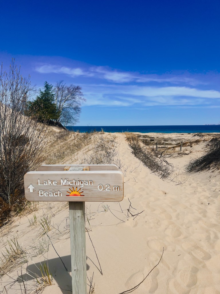
Overall, I’d rate this trail an 8.5 out of 10. As previously mentioned, it’s beginner friendly with level terrain, it’s just short enough at around 2.5 miles long, and it provides a safe space to get into nature. The additional hike to Lake Michigan is beautiful and would be a great spot on a hot day in midsummer, but only if you’re up to tackling the dunes!
What trail should I hike next?
